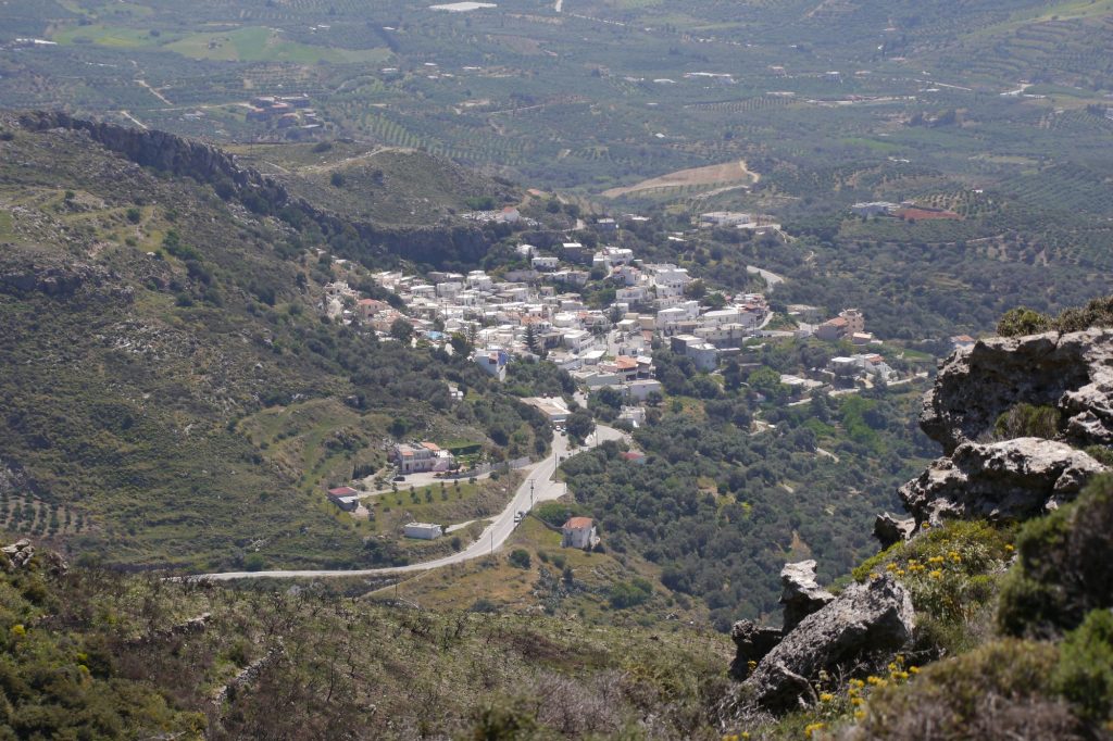
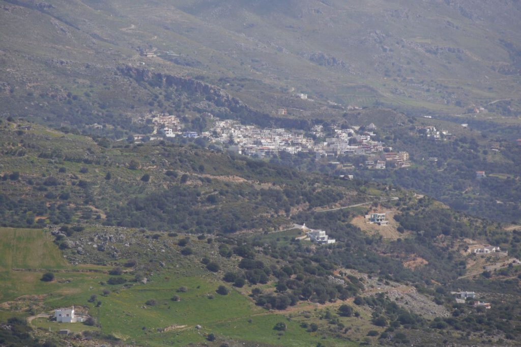
The Mirthios community of the Municipal Unit of Finikas is located on the south-west-western foothills of Mount Kouroupa (894m) and has a wonderful, uninterrupted view of the Bay of Plakias and the Libyan Sea. It is 36 km away from Rethimno, lies at an altitude of 160 – 200 m and, with a total of 488 inhabitants according to the 2011 census, is the second largest local community in the municipality. It now includes the settlements of Mirthios (pop. 203), Kalipso (pop. 0), Kambos (pop. 70), Kokkina Chorafia (pop. 5), Mirthianos-Plakias (pop. 182) and Finikas (pop. 28).
Until 1927 Mariou still belonged to Mirthios.
To the east stretches a fertile lowland called Gialia, derived from the word Gialos (γιαλός = beach/sea).
Origin of the place name
The first settlers in the new village saw a kind of myrtle forest there, which was the origin of the naming. Name mentions of the place go back to Fr. Barozzi (1577, Myrtio di Megapotamo), Kostrofilakas (1583, Myrtio di Megapotamo), Vasilikata (1630, Myrto di Magha Potamo) and the Egyptians (1834, Myrthio). In 1881 it is mentioned as Mirthios.
According to tradition, Mirthios was originally built near the sea whose name was Ksero Chorio (Ξερό Χωριό – ‘Dry Village’) and was destroyed by the Phoenicians. Gradually the village was moved uphill until it found its current location due to frequent pirate raids. It is said that the village’s early existence closer to the sea is evident in the old waterworks that are still in use today.
The inhabitants of the village are originally not all of Cretan origin. Many came mainly from Greece, but there were also settlers from Sfakia and other areas of Crete. Corsairs also settled in the village.
Celebrities
Mirthios has produced many people of high social rank, such as university rectors, doctors, mathematicians, linguists, lawyers, etc. The most well-known personality in the Hellenic-speaking world was the linguist Georgos N. Chatsidakis, who carried out the first records and elaborations on the place name Mirthios. Aus der Chatsidakis-Familie gingen sehr viele Akademiker hervor.
Churches
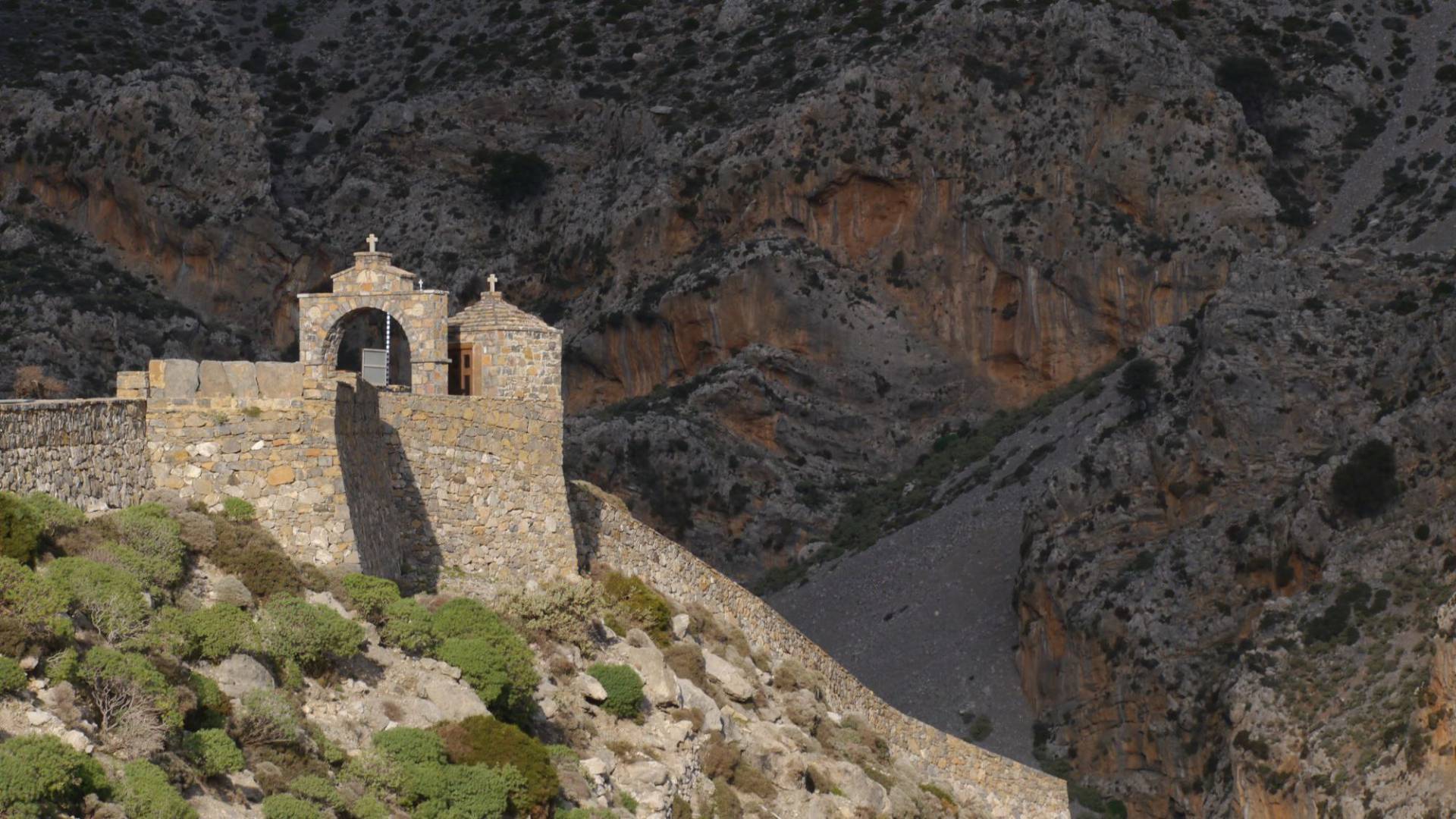
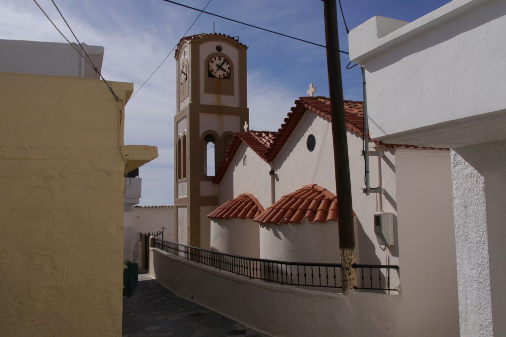
As churches of the place are to be mentioned the church Sotiros Christos (Σωτήρος Χριστού – Christ’s salvation) from Byzantine times, built before 961, with wall paintings of the Assumption of Mary and the Last Judgment. The church of Agios Georgos in Mirthios-Plakias also dates back to the Byzantine period, but lost its wall paintings after frequent whitewashing of the interior. The two-armed main church of the Village Agios Charalambos and Gospel of the Virgin Mary is known for its Venetian clock from 1589. In the landscape of ‘Nioschorio’, probably below Mariou on the ‘ditch-path’, there was a small monastery that was administered by the Preveli Monastery.In the landscape of ‘Nioschorio’, probably below Mariou on the ‘ditch-path’, there was a small monastery that was administered by the Preveli Monastery.
Schoolsn
The first state-funded ‘Greek School’ (‘Ελληνικό Σχολείο’) of the village was founded in 1881 and operated until 1889. It was one of the five in the province of Agios Vasilios, along with those of the monastery of Agios Pnefma, Melambes, Spili and Koxare. The elementary school was in operation until the 1996-97 school year. Despite the large number of pupils, in 1997 it was transferred to the new primary school in Plakias, which has since received students from Mirthios, Mariou, Asomatos, Gianniou, Lefkogia and Sellia.
There has been a kindergarten in the village for at least thirty years, which has also taken in children from Mirthios, Mariou, Asomatos, Gianniou, Lefkogia and Sellia since the school year 1999-2000.
Geology
The territory of the village is characterized by 5 cataloged caves, water wealth, medicinal springs and mineral deposits in the form of brown coal.
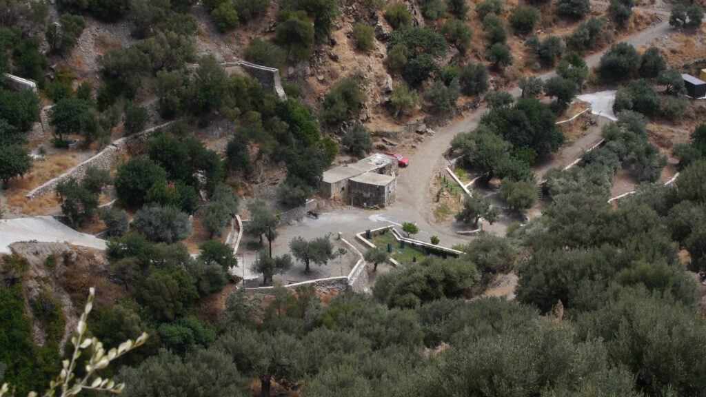
Of particular note is the Kotsifou River, which comes from the eponymous gorge west of the village, flows into the sea in Plakias and carries water all year round. It is the dividing line between the village areas of Sellia and Mirthios. On the Mirthios side, from the Venetian occupation until the late 19th century four water mills were used to grind grain. A total of five mills were in operation on the Kotsifou. Today four are still visible as ruins, of which the lower two are ruins while the upper two have since been restored. All four are within walking distance. More about the mills here.
Also worth mentioning are the deposits of lignite, which were discovered in 1839 south of the village. The history of coal and its commercial exploitation is mentioned in the post Settlement of Plakias .
Ottoman rule
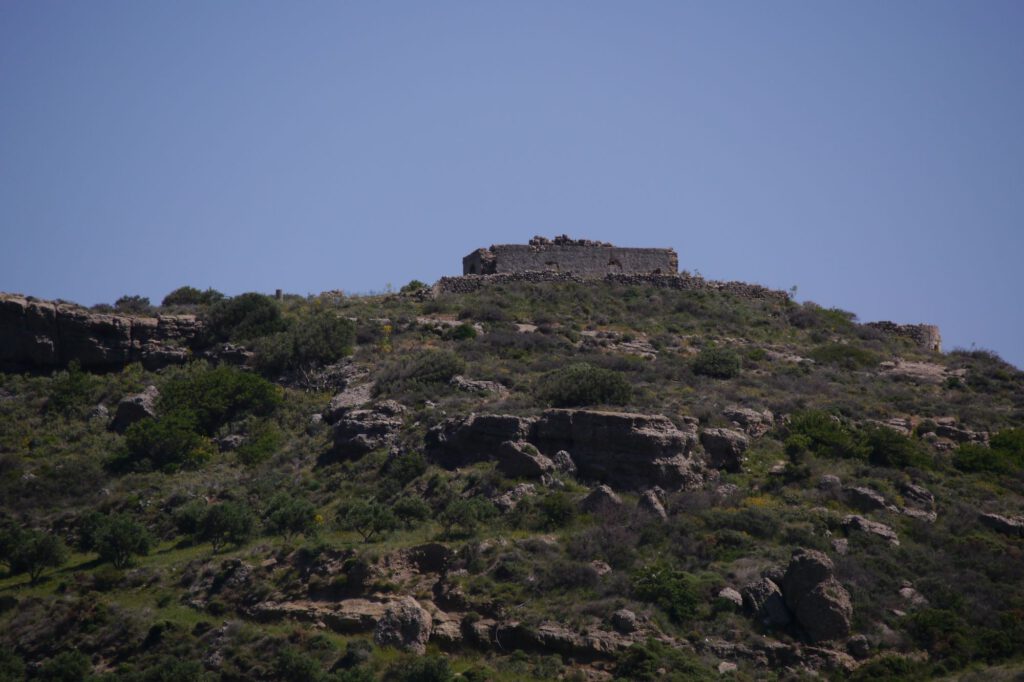
The village was under Ottoman rule, in contrast to Sellia, which was never taken. Slightly south-west of Mirthios, on the top of a hill ending in Plakias Bay (just above today’s Hotel Alianthos), you cann see a prominent ruin (called Koules). It served as a guard station for the Ottomans (sometimes brutally acting against the population) to monitor the surrounding villages and beaches. It probably already existed in Venetian times for the same purpose. After the Ottomans left, the interior of the building was destroyed, as were parts of the wall.
Nazi rule
During this time, many residents fled from the German bombardments and took refuge in nearby caves.
Natural phenomenon
A strange phenomenon occurs in the village: mainly from the beginning of September to the end of January, when the moon is full, the moonlight rising from the east touches a rock that is reflected in the whole sea. Especially at a part of the beach called Paligremnos, large squid go onto the beach, which the inhabitants collect with long poles.
Sources:
– Χώρια της π. Επαρχίας Άγιου Βασιλείου Ρεθύμνου; Τόμος Δ (4) του Έκδοδη Διεθνούς επιστημονικού συνέδριου για την πρώην επαρχεία Άγιου Βασιλείου; Ρέθυμνο 2011, Κώστης Ηλ. Παπαδάκης – Μύρθιος – σελ. 475
– Official site of the Municipality of Agios Vasilios
– Χαρίδημος Α. Παπαδάκης – Ο Πλακιάς του χθές / Charidimos A. Papadakis – Plakias in the past, 2. edition greek-english, Rethimno 2017, ISBN 978-960-93-2155-6


