


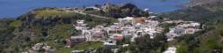

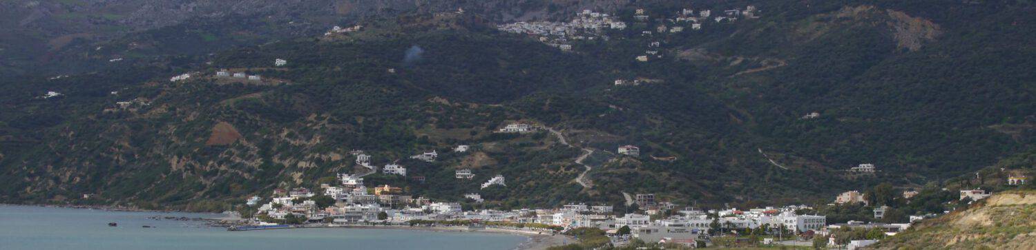

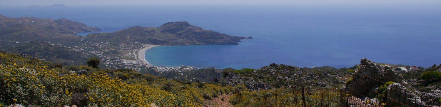
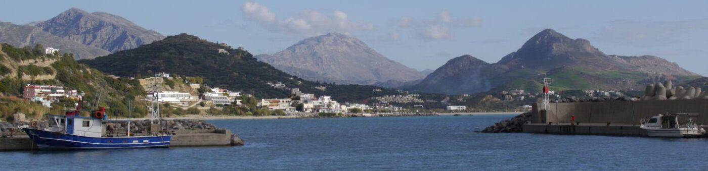
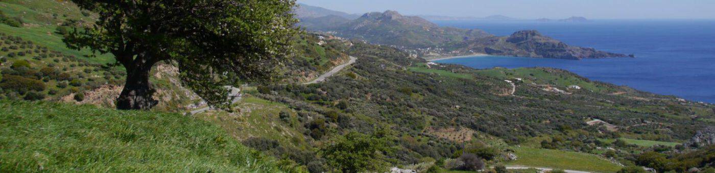


… or extensive excursions on foot, but also by bike are simply ideal in this magnificent landscape.

There are many paths throughout the year that you can safely walk alone; However, it is advisable NOT to hike alone away from the ‘tourist paths’ or the paths regularly used for agriculture and livestock and outside the travel season – mobile phone reception is not everywhere available and if you should happen to get a cracked foot or worse, it is very unlikely that anyone will come by anytime soon. In this respect, it is always advisable, whether you are traveling alone or with a group of people, to let someone know where and where you want to hike. Sturdy shoes (including stockings), water, food and a light hiking stick should be part of the minimum equipment.
There is now also a good, in my opinion reliable, topographical hiking map (1:25,000) for the Frankolastello-Plakias area. t can also be downloaded as an app for Android & similar. It should be available in Plakias in the Forum (Souvenirs – Souterrain). Unfortunately, the map doesn’t extend to Damnoni to the east. It is to be hoped that the publisher will bring out a connection card. See: Anavasi Maps & Guides, Athen