


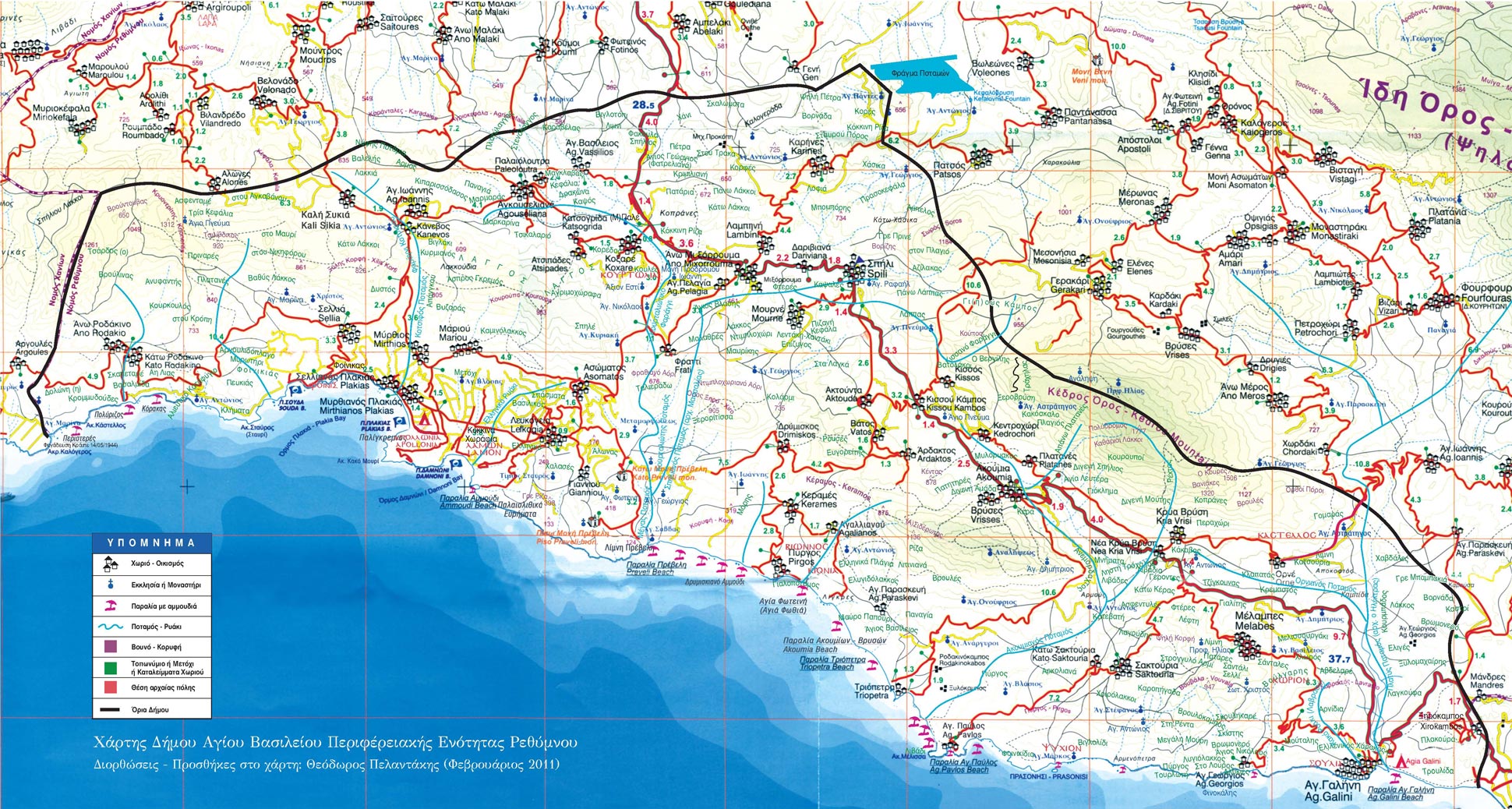
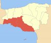
.… of the municipality of Agios Vasilios (an area municipality, comparable to a county) extend from Rodakino in the west to Agia Galini in the east, thus covering the entire south coast of the regional district of Rethimno. The municipality is divided into two municipal districts: Municipal District Finikas and Municipal District Lambi. It consists of 26 local communities and includes a total of 52 settlements… The administrative seat is in Spili and the municipal council consists of 21 people. The census of 2011 showed a population of 7,424. This “county” is the result of the last Greek administrative reform (Kallikratis Law of 2010), which reorganized the political division of the country with effect from 01.01.2011.


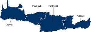
The municipality of Agios Vasilios together with the municipalities of Amari, Anogia, Mylopotamos and Rethimno form the regional district of Rethimnon (Periferiaki Enotita Rethimnou, called Prefecture/Nomos before 2011). Rethimno, together with the regional districts of Chania, Iraklion and Lasithi, forms the region of Crete.
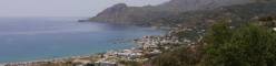
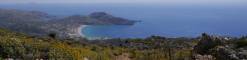
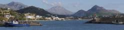
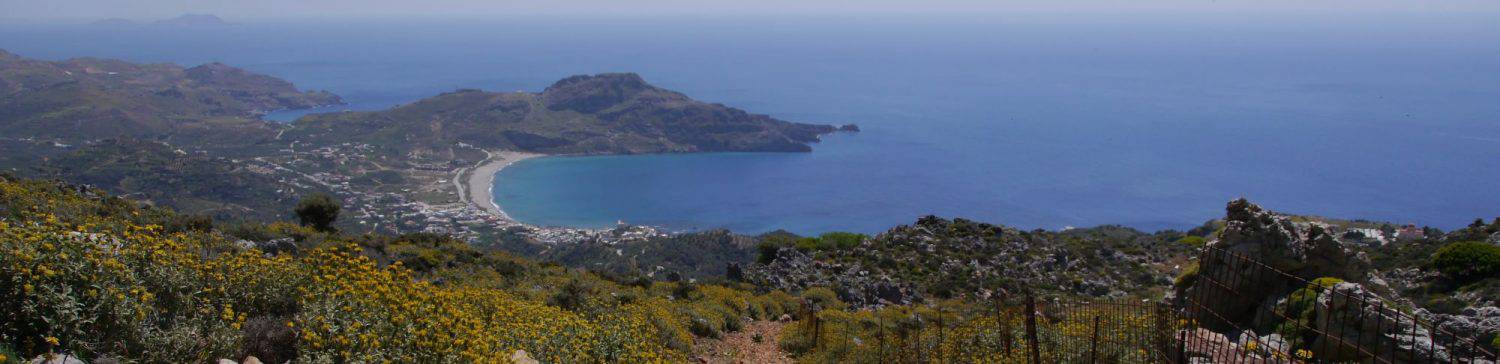
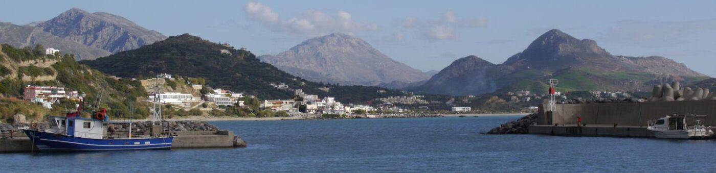
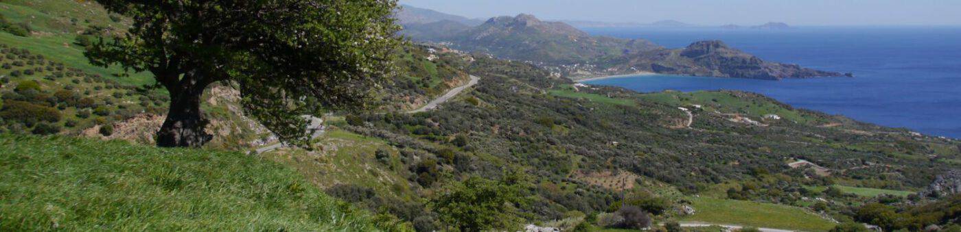
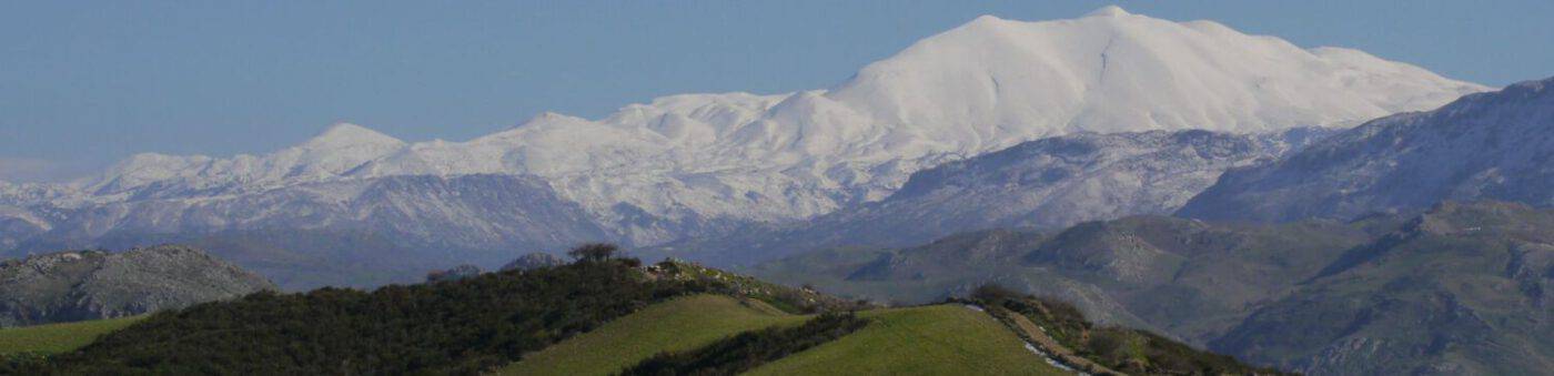
In the western part of the municipality of Finikas, the foothills of the Lefka Ori (White Mountains) in the area of Asfendou and Kallikratis meet the peak of Kryoneritis (1,310m) (located in Finikas). This mountain range continues south-eastwards to the Kedros mountain range (up to 1,776m and located in the municipality of Lambi) and the foothills of the “Psiloritis”. Between the Kryoneritis and the Kedros there is first the Kotsifou gorge with the river of the same name (which flows into the Libyan Sea at Plakias and forms the border between the part of Plakias belonging to Sellia and Mirthios respectively) and then further east followed by the peak of Kouroupa (964m), and then the Kourtaliotis gorge with the river of the same name (or Megapotamos, which flows into the sea at Preveli)..
In Lambi, to the southeast, the ridge of the aforementioned Kedros marks the border between the municipality of Lambi and the municipality of Amari to the northeast. South of the Kedros is the Assiderota mountain range, with the highest elevation of 1,162 m and meanwhile covered with large wind turbines.
This overall mountainous area of the municipality of Agios Vasilios is divided into three altitude zones: Lowland (0 – 200m), Medium Mountain (200 – 600m) and High Mountain (600m and above) zones.
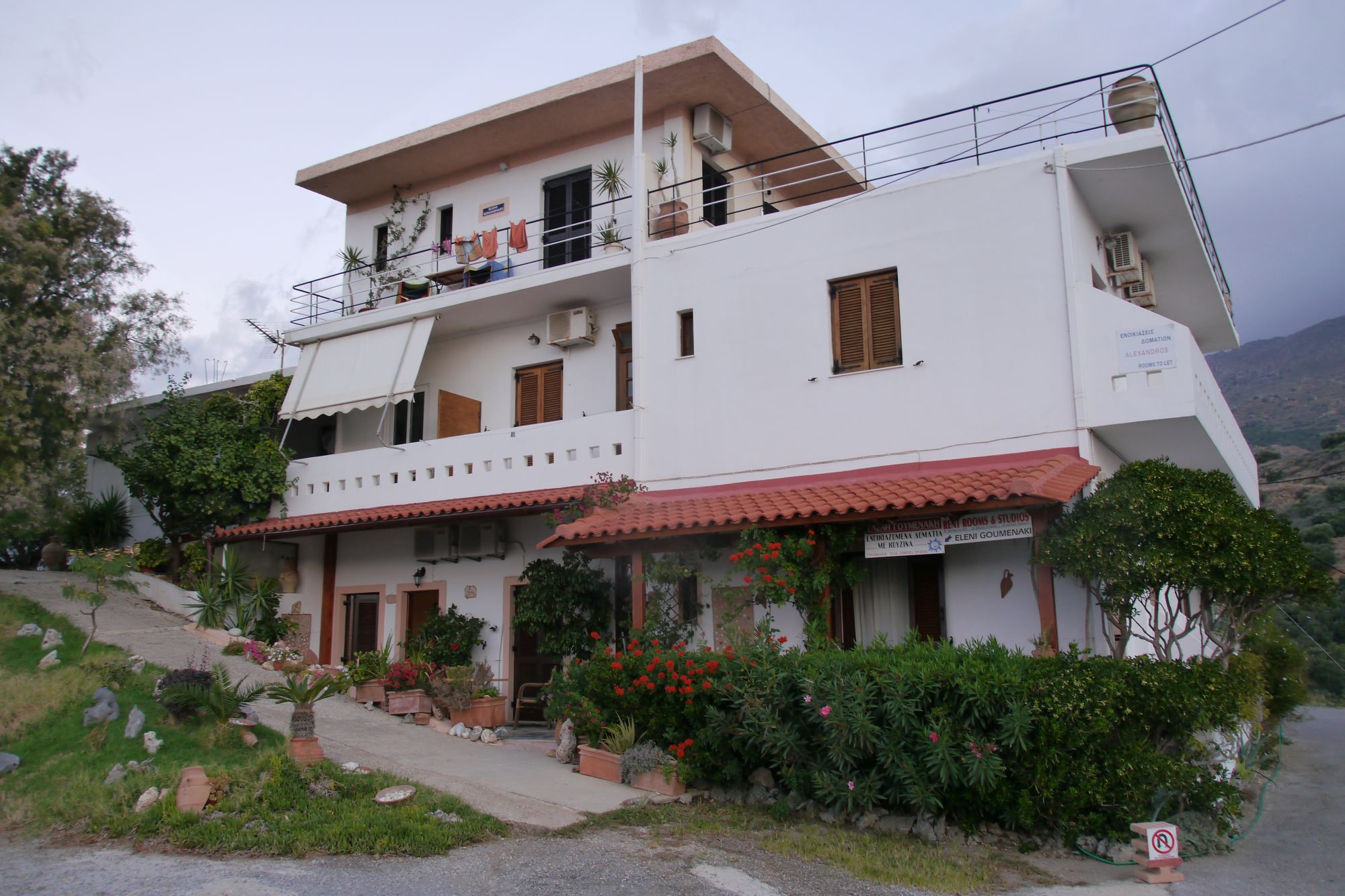
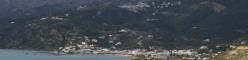
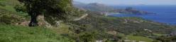
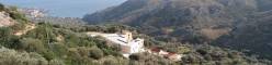
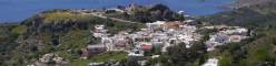
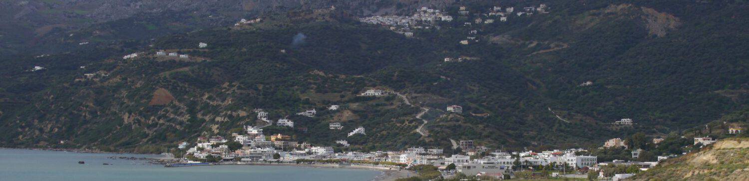
The (quite hilly) lowland zone is characterized by agricultural cultivation: pure agriculture, tree crops and mixed cultivation. 45.3% of the total area of the municipality is cultivated in this way and the main cultivation areas are in the local communities of Akoumia, Melambes and Saktouria (in Lambi). There are also cultivations in Finιkas, between Kali Sikia in the west and Koksare further east, in a high valley (300 – 400m) protected by mountains to the north and south.
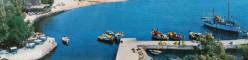
In terms of transport, the municipal area is well-connected. The main traffic axis runs from Rethimno in a south-easterly direction across the Lambi via Spili, Akoumia and between the Kedros and the Assiderota to Agia Galini. This connection is regularly served by the KTEL bus company. The Finikas and Plakias in particular can be reached via both the Kourtialotis Gorge and the Kotsifou Gorge. Plakias, Sellia, Mirthios and Rodakino are also regularly served by KTEL.
Sources: Official site of the municipality of Agios Vasilios