
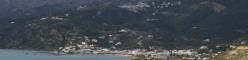
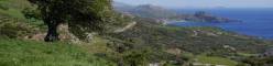


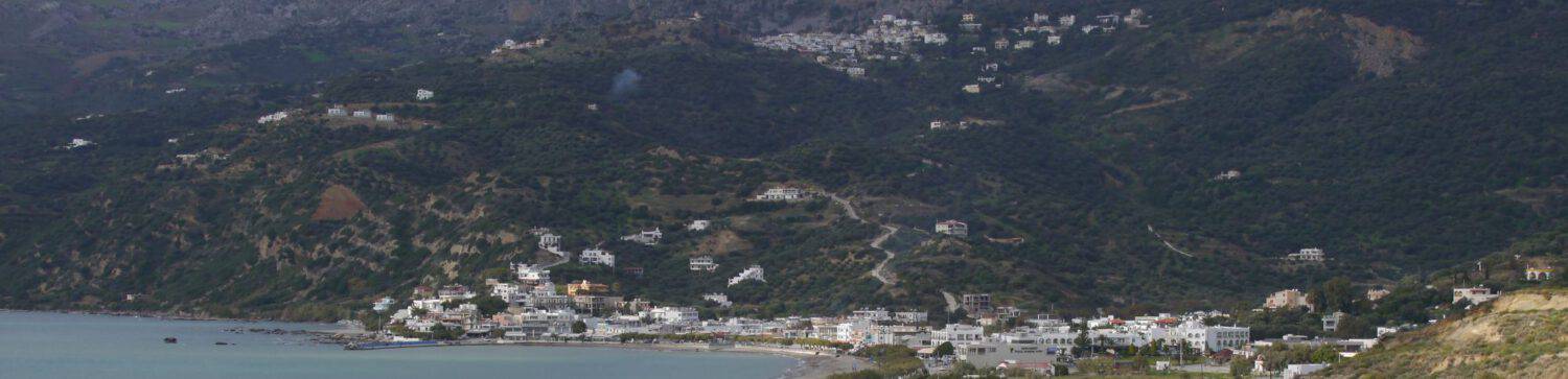

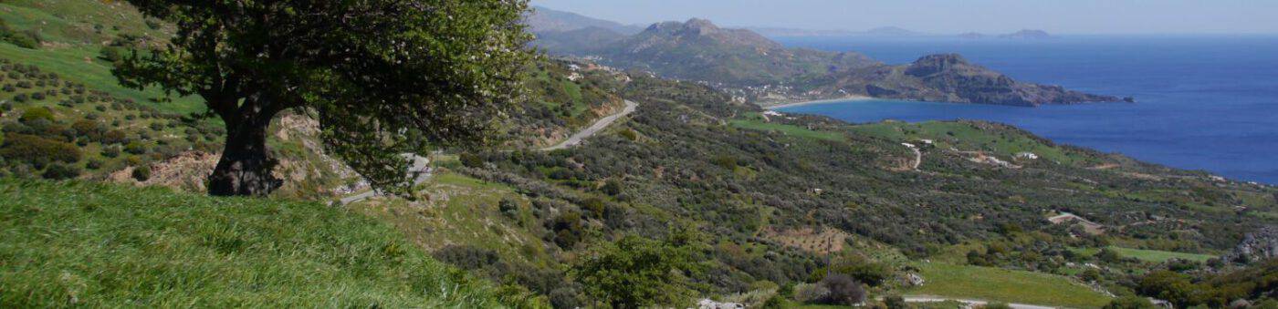


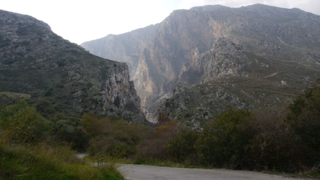
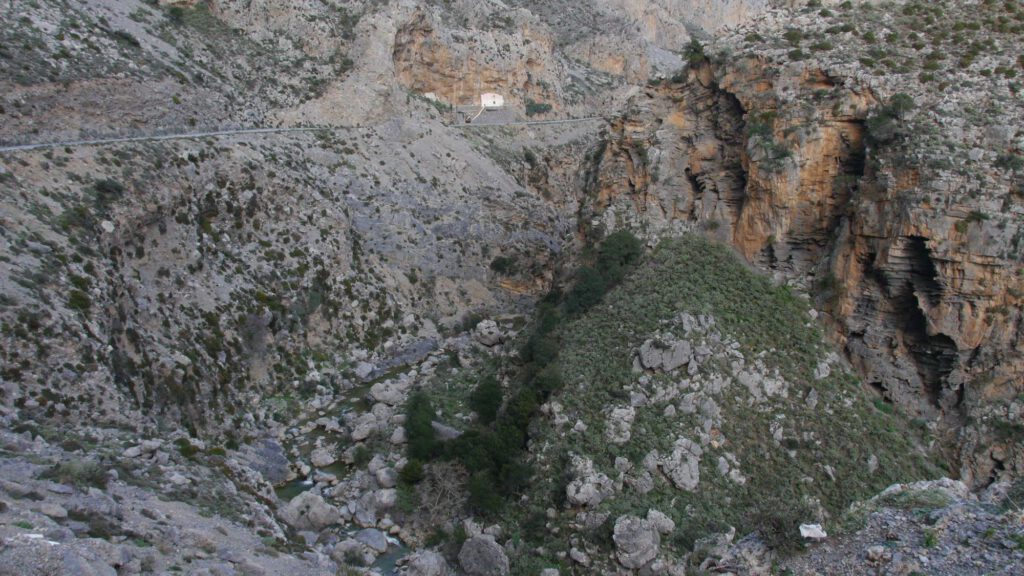
It is an impressive, spectacular and mighty gorge between the peaks of Kouroupa (984 m) and Koules (676 m) and, beyond the Frati Gorge, Ksiros Oros (Dry Mountain, 908 m). The gorge has a total length of about 3 km and begins about 3 km behind Koksare and about 2 km behind Asomatos. The Koksare – Asomatos road (provincial road 9309), runs parallel to and above the river (Megalos Potamos) that runs through the gorge. It was a gravel road until into the 1970s, which was later asphalted. The steep rock faces to the right and left, interspersed with numerous caves, rise in places more than 300 m in height and in places up to 100 m below the level of the road.
This gorge leaves everyone who travels to Plakias, as a visitor (whether for the first time or frequently repeated), but also as a local, with an ever-grandiose impression of the uniqueness and grandeur of the Finikas landscape.
Nature reserve

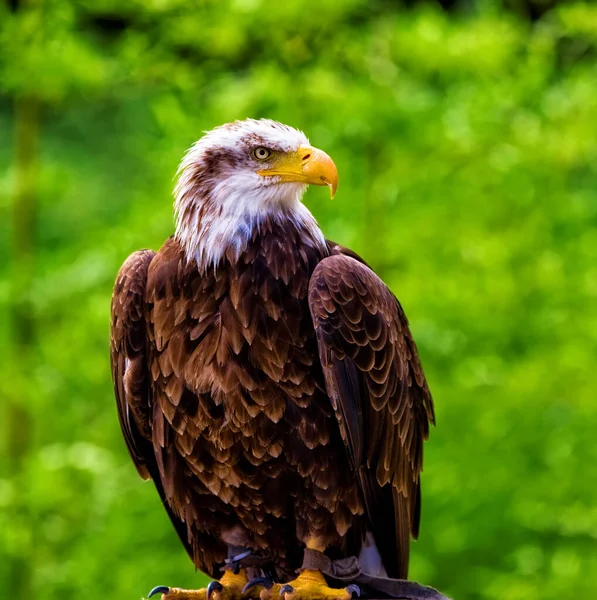
The gorge is a nesting and breeding site for several protected species of birds of prey, for example the lammergeier and the golden eagle. According to the European Environment Agency (Natura 2000, biodiversity.europa.eu), the site hosts 27 protected species of migratory and non-migratory wild birds, birds of prey, waders and other species that breed and nest in this particular environment (important nesting area).
The area is classified as a “Wildlife Sanctuary” (WSA) and “Special Protection Area” (Καταφύγιο Άγριας Ζωής (ΚΑΖ)) for bird fauna. For more details, see my post “Snack bar at the sources of the Kourtaliotis?“
The waters
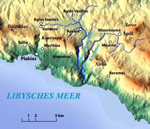
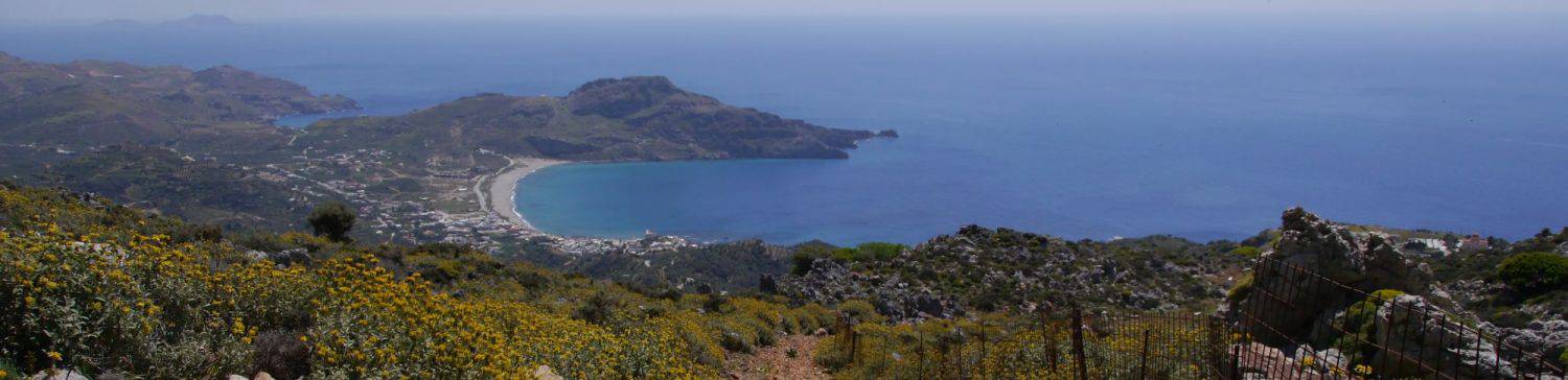
During the summer months, the upper reaches of the river are completely dry, as the tributary streams no longer carry any water at all during this time. These streams supply water in winter to the entire Megalopotomos over a complete length of about 18 km to the sea. They have their sources above the springs in the villages of Agios Ioannis/Kanevos, Agios Vasilios and Koxare. One feeder, flowing through the Frati Gorge and joining near the Lower Preveli Monastery, comes from the Spili area (see map opposite).
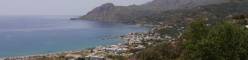
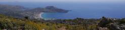
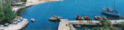
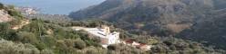
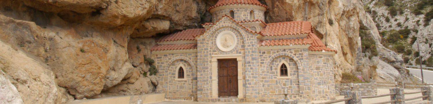
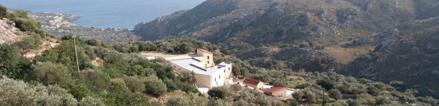
From the springs on, it carries water all year round, generously supplying the villages and agriculture. The springs are easily accessible via a paved descent/path (see also the video at the end of the page). The chapel of St. Nicholas is located there. The river, crossing the Preveli Gorge, flows into the sea at the beach of the same name.
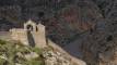
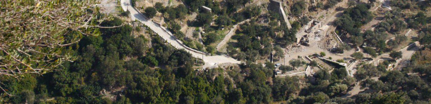
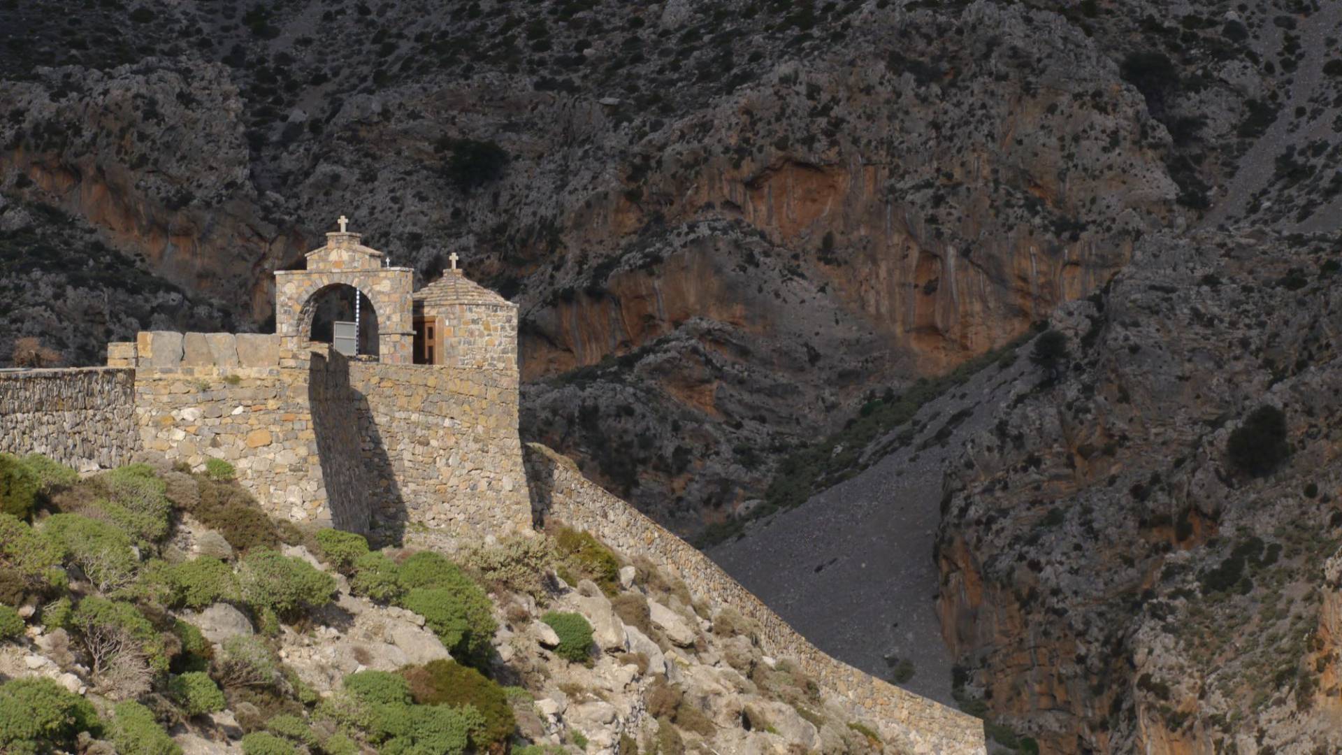
The springs of Kourtaliotis
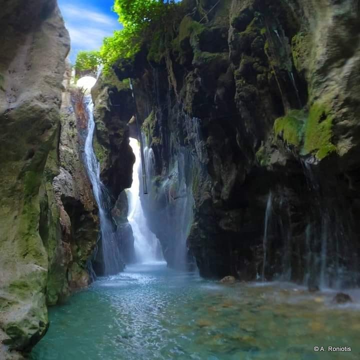
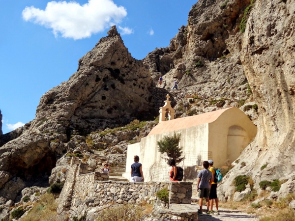
Saint Nicholas of Kourtaliotis, after many years of ascetic life in Messara, subsequently lived in the Kourtaliotis Gorge. Even today, the village retains a strong tradition around him. Thus, his commemoration is celebrated on 1 September with a special service and great pomp. The chapel next to the springs is named after him. It is said that the formation of the seven cascading springs that form the river Kourtaliotis is attributed to his miraculous deed. The legend also says that the name of the gorge goes back to him, the Kourtaliotis, i.e. the “rattler” or “noisy one”, and is connected with the formation of the springs, which he initiated. Another explanation of the name is: when it is windy, the “rattling” of the air between the rocks could be heard.
The gorge can be walked through with some effort, but otherwise comfortably (guided walks are offered in Plakias).
End of February 2019
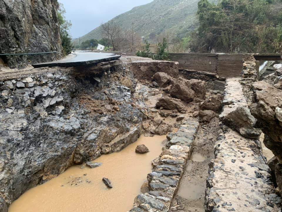
At the entrance to the gorge (Koksare, turnoff to Frati) is the narrowest point (the rock walls are only a few metres apart), while at the same time the river/stream is almost at road level. Here, at the entrance to the gorge, the soil, which had been overwhelmed by extremely heavy rain, caused a massive flood wave at the end of February 2019, destroying the road down to its foundations and approximately as far as the first car park. The water must have raged about 2 m above street level at the bridge to Frati. We can consider ourselves lucky that at the time the flooding occurred, no road user who was just passing by was unhappily surprised by it. It was not until about 3 months later that the road, which had then been renewed, could be reopened to traffic.
A tourist in Crete from 1873
Finally, here is a quote from Kostis Il.Papadakis Text on Asomatos, p. 191ff (source see above)
“An impressive description of the approximately two-kilometre-long Kourtaliotis Gorge is given by the official Crete tourist of 1873, the then heir to the German Duchy of Saxe-Meiningen and later regent of Vernado (1851-1926).Vernados compared this gorge to the Samaria Gorge and found the power of its image more impressive (!). He said that he personally had never seen such a powerful and pristine landscape…, while one of his companions, who knew Switzerland well, said that this gorge, the Kourtaliotis, could only be compared to the gorge between Andermatt and Amsteg in Switzerland. Since there was not even a rudimentary road through the gorge at the time, it was particularly difficult to cross, so it took Vernados and his group a whole hour to get through it. And then the entire escort of the high visitor to the region burst into cries of enthusiasm, overwhelmed by the incomparable sight… The area is considered a haven for rare birds of prey such as the vulture and the golden eagle.
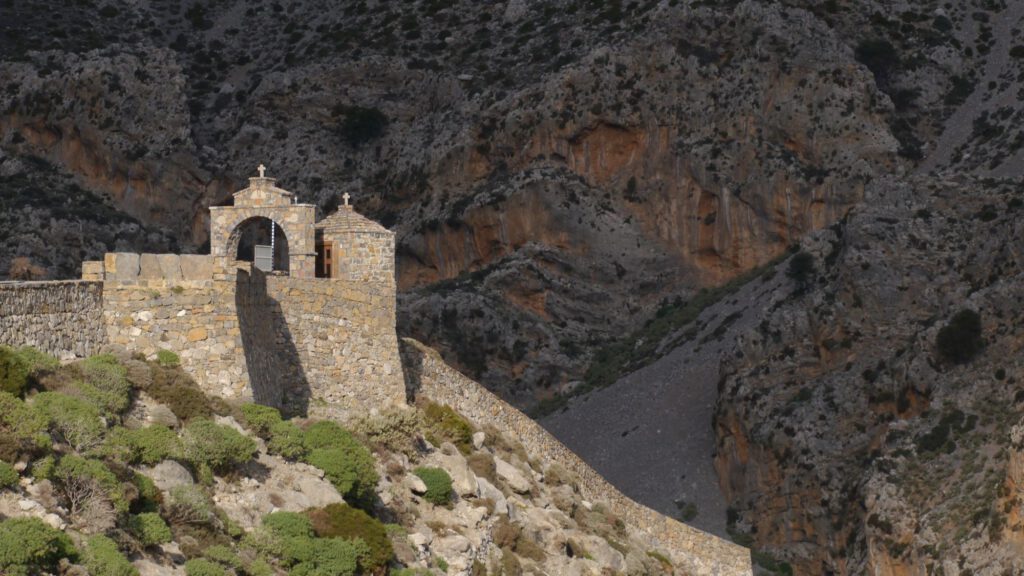
Then he briefly mentions the monastery of Preveli, which he describes as half-ruined and hidden among trees and bushes. And the Romanesque bridge (surely the bridge over the Megalo Potamos – Great River), which spans its arch over a stream of clear water.
In all these wonders, Vernados discovers a mixture of wonders, a picture with elements of Switzerland, Italy and the Orient, which surprises the traveller again and again and makes him ask what there is to see and discover in this region.“
Sourcessprings
- At dewiki.de there is a very detailed, readable description of the entire course of the river known as the Megalopotamus (in german).
- Χώρια της π. Επαρχίας Άγιου Βασιλείου Ρεθύμνου; Τόμος Δ (4) του Έκδοδη Διεθνούς επιστημονικού συνέδριου για την πρώην επαρχεία Άγιου Βασιλείου; Ρέθυμνο 2011, Κώστης Ηλ. Παπαδάκης – Ασώματος – σελ. 183
Villages of Agios Vasilios Rethymnon district; Volume D (4) of the Edition of the International Scientific Conference on the Former Province of Ayios Vasileios; Rethymnon 2011, Kostis Il. Papadakis – Asomatos – p. 183ff.
The 7-volume documentation can be downloaded as a PDF here: https://anemi.lib.uoc.gr/metadata/c/d/8/metadata-1404384170-913351-22914.tkl